
Survey & Design

Survey & Design
We complete topographical surveys to establish precision co-ordinates and site elevations, to map boundaries for land registry purposes and to assist in determining sight lines for new entrance openings. Our survey capabilities include the use of GNNS (GPS) equipment, laser scanners and total stations. Our design services takes the initial survey data through to the delivery of general arrangement drawings, planning drawings, detailed design, as-built and land registry drawings.
Experienced & Certified
Charterhouse also offers design services to support planning applications.
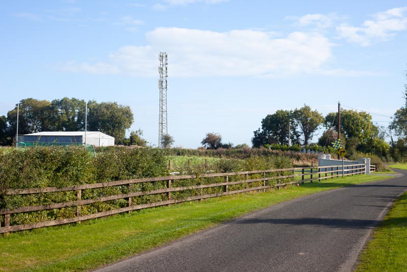
Survey data, professional photography and cutting-edge elements such as global positioning deliver a precision model that provides planning authorities with clarity about the project.
To find out more about survey and design support from Charterhouse, please contact a member of our team today.
Web Development by Juvo. All rights reserved. 2023.